
 Gorgeous morning for a cruise up to Amelia Island. The only threatening clouds were the figurative ones hanging over our heads as we headed towards skinny water on Sisters Creek. To anyone hoping to read about us running aground and hoping to see pictures of Doug hanging his head in shame while Towboat US pulls us to safety, however, too damn bad. None of that happened, thanks to expert boat handling, high tide, and aggressive dredging in the last 24-hours. Maybe not in that order, but still.
We reached the St. Johns River just fine pretty shortly after leaving. Dana read in the Waterway Guide that the Atlantic Bridge was dangerous and narrow with a strong side current, which had us a tad worried until we realized that we’d already gone through it. (Going through was just bad enough for us to notify Late Harvest—traveling behind us—to be prepared, but not bad enough to cause serious alarm. We didn’t even take a picture.) In the St. Johns we encountered tows and barges for the first time in a while. They felt like old friends. Almost.

Across the river we turned north up Sisters Creek.

Pretty different and quiet as compared to the ICW we’ve traversed so far.

 That’s not to suggest it all was painless. One of our go-to navigation apps is Navionics. Generally Navionics is a helpful iPad supplement to our array of Garmin instruments on the bridge. Sometimes, however, we have to wonder whether the dude responsible for the hazard warnings is just trying to be funny at our expense.
 Confusing Area? Mostly it’s confusing only because of the ambiguous description. Someone probably had a good laugh with his or her buddies about sticking random worthless warnings on the chart. Anyway, we passed through the “confusing area” as well as the shallow section before red 66 with a level of worry that with hindsight proved unwarranted.
 When we reached the point of most concern, the dredge busily was clearing the intruding shoal, allowing us to pass incident-free. Nothing to see here.

Dana found time to photograph an absurdly-long walkway to a private dock and an eagle.

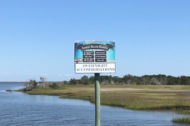
 A hard turn at the teeny sign put us into the marina channel.
 Again they stuck Misty Pearl off on a wall by ourselves, over in the ship yard.
 The marina folks assure us that the gate won’t be locked tonight so that we can get Oscar and Benny off to walk. Hopefully they’re right. Boys gotta do their business.
Thanks to the early high tide, we left Jacksonville in time to hit up lunch after we docked for the day. Thanks to the marina courtesy car, we tooled over to Fernandina Beach. After lunch we checked it out.

They call this the First Coast, presumably because it’s where Ponce de Leon landed, although there’s probably some way Florida gives Flagler the credit. Unless something bad happens, however, this’ll be our last photo of a Florida beach. Because this’ll be our last night in Florida. We’ll probably celebrate by watching some Survivor and some Justified. Too many mosquitos around for us to sit outside.